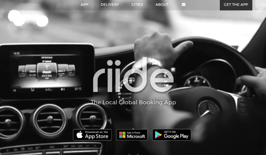
Today’s post is from Odhran Ginnity and Lisa Byrne of the leadership team at XYZCO. XYZCO develops and delivers the supporting technology platform for Riide, a private hire app operated by a co-operative of around 25 independent private hire firms across the UK, Ireland, Finland and North America. In the UK, Riide is the number one taxi app outside central London and globally it supports up to 55 million transactions a year. Dublin-based XYZCO has also created a companion platform, Caboodle, that allows private hire firms to extend their services to include pickup and delivery of food, groceries, prescriptions and other products.
When we took over responsibility for the Riide platform in early 2018, our initial goals were to improve the user experience and to re-engineer the back-end. The one aspect of the app we didn’t expect to spend much time on initially was the mapping side. With Google Maps in place, we knew we were using a solution with great coverage that would be robust and scalable enough to handle the demands of a very high volume, consumer-led app.
Challenge: from free usage to £20,000 a month
Within a couple of months, we were faced with an unexpected and urgent challenge: Google Cloud changed its pricing model for Maps and the cost of all the Maps API calls we were making went from being effectively free to as much as £20,000 a month for some of the firms in the Riide network.
We needed to work out quickly where the costs were coming from and how we could reduce them — without affecting the experience for customers using the app. We went through the product looking for places to cut down the number of calls we were making, but our costs were still very high. We knew we needed expert help and that’s when Ancoris came on board.
Combining commercial and technical solution
One of the first things Ancoris did was help us to sort out the commercial side of Google Maps. Because of the way the app had originally been developed, we were calling APIs from multiple separate accounts. Not only were we potentially missing out on volume discounts, but it was complicated for our small team to manage all of that efficiently.
We simply didn’t know how to pull all those accounts into one master account, but Ancoris helped us work through it. In the end, it took just 30 minutes to implement.
Simply moving all our activity to one account and being able to apply a bulk discount cut our costs by around 10% — but clearly we needed to do more.
We were able to draw on Ancoris detailed understanding of the Maps APIs to figure out which features and data items were actually necessary for the app to function and which we could do without. We went from calling everything every time — for example, calling all of the extra details about Places, such as venue opening times and user reviews — to only requesting the items we really needed.
Working with Ancoris has also helped us take a fresh look at how often we’re calling some APIs, to see if we can call them less frequently without impacting the customer experience. For example, we use calls to the Directions API to update the taxi’s ETA and show the progress of the taxi en route. It turns out that customers don’t actually need to see the exact route the taxi is taking on a second-by-second basis. We were able to replace the actual route provided by Google Maps with an animated fly line that’s driven by less frequent calls to the Directions API. Customers still get an accurate idea of how quickly the taxi is moving and an accurate ETA, but we’ve cut out as much as 95% of the cost of providing that — and it looks great, too.
All in all, the changes we’ve made in how we use the Maps APIs have allowed us to reduce our costs by more than 80% over a period of about four months — and we’re still finding new ways to refine our operations and get further small reductions.
Why we love working with a partner
The support we’ve had from Ancoris has been key to making that happen. Ancoris has been great at helping us to look more deeply into the APIs and what we want to do, so we can use the best calls and take out any that generate unnecessary costs. And we know we can fire questions over and get answers really quickly. That’s both reassuring and has helped us speed up development.
Another example of where working with Ancoris has made a big difference involves one of the issues we identified in our original roadmap: the app wasn’t always providing accurate enough pickup and destination locations for customers and drivers. Ancoris was able to arrange a session for us with a technical expert from Google who could take us through a deep dive into the Places API, helping us to understand how to fine-tune addresses based on user proximity.
Ancoris didn’t just help us technically and commercially, though. They also played a key role during our discussions with the taxi firms in the Riide network about the cost of the APIs and how we were going to address their concerns. Obviously it was important to them to lower those costs as much and as quickly as possible, so we could put more money into development.
Having an independent third party like Ancoris validating our assessment of the work that needed to be done and our process for working through it really helped during those conversations.
Future opportunities
Google Maps will continue to play a central role in our work going forward. For example, we’ve created a platform, Caboodle, that allows private hire firms to extend their services to pickup and delivery of food, groceries, prescriptions and other products. That’s currently being used to power the City Grab service in Sheffield, Chesterfield, Barnsley and Derby. We’ve also added a similar feature into the Riide app that allows customers without the City Grab app to get their click-and-collect groceries or prescriptions picked up and delivered. Those kinds of services have been vital during the Covid-19 pandemic.
With Google Maps and support from Ancoris, we’ve been able to get those ideas up and running quickly and at scale: we got Citygrab to market and handling thousands of deliveries in just three months.
Another focus for us is to help firms in the Riide network move more of their transactions online and Maps is playing a central role there as well. You can still phone to book a cab, but we’ve developed a text-pay product that sends customers a text message that lets them pay by card. Once customers have paid, they can see their driver en route on their phone without necessarily needing an app, but they’re also encouraged to download the Riide app to get a more accurate ETA. So they don’t have to wait for their next trip to get the benefit of downloading the app, even if they haven’t used it before — but now they’ve installed the app, they’re more likely to use it for future trips.
Always being able to turn to Ancoris and get answers quickly when we need them has really helped us to deliver on projects like these.
Our original focus might have been on cost reduction, but the relationship has quickly evolved into far more, thanks to Ancoris’s product insights. We rely on them to help us through the maze, always there to make something that’s very complex really simple to understand — and with great patience.